🛰️GEOSPATIAL
Turning Coordinates Into Opportunity
In the quest for valuable minerals, the importance of one variable reigns supreme: Location.
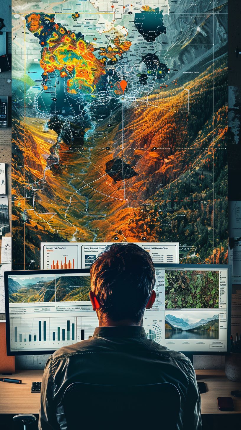
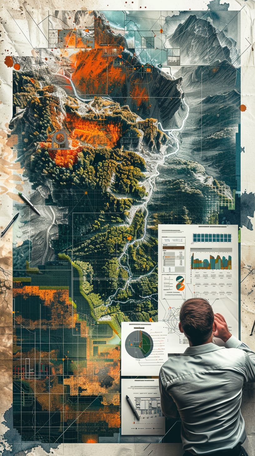
Whether prospecting, exploring, developing, producing, or reclaiming, each step in the mining value chain is profoundly impacted by geospatial attributes.
Contact FirstGeo to discuss your project.

Location is a Key Variable Across the Mining Value Chain

Mineral exploration is a delicate dance of science and strategy, but at its core lies a fundamental truth: location matters.
In the world of mining, location isn’t incidental; it’s integral. Geological formations, terrain characteristics, and accessibility all play significant roles in determining the potential for developing mineral wealth on a project. Moreover, regulatory considerations and environmental factors can profoundly impact the feasibility of exploration activities.
Location isn’t just a point on a map; it’s the cornerstone of every successful mining venture.
Navigating the business of mineral exploration involves a comprehensive picture, of geological, geographical, and regulatory factors to maximize the chances of successful mineral exploration. Without a strategic approach to location data collection, storage, analysis and collaboration, even the most sophisticated exploration techniques may yield limited results.

Geospatial technology is a fundamental tool throughout resource project development

⚒️Exploration Planning
– Maximize exploration success through targeted sampling, precise surveys, and data-driven strategies guided by advanced geospatial tools
💰Investor Relations
– Elevate investor confidence with dynamic visuals showcasing targets, prospects, and strategic initiatives
📝Land Management
– Seamlessly manage land rights and obligations with integrated legal and financial data solutions
🤝Stakeholder Engagement
– Foster collaboration and transparency through impactful spatial visualization of project progress, impacts, and risks
🌱Environmental Assessment
– Plan smarter to mitigate ecological risks, reduce impacts on local environments, and meet regulatory requirements
🦺Health & Safety
– Define and visualize safe areas, analyze incidents, and identify high risk accident-prone zones
🔮Market Forecasting
– Instantly cross-reference project parameters with market data for smarter investments
🌦️Weather & Climate
– Understand and adapt to micro and macro conditions that could impact safety, production, and longevity.
💎Resource Estimation
– No more guesswork, precisely estimate volumes and grades of mineral resources by area and depth
🎯Drillhole Targeting
– Align geophysics, geochemistry, geology, and terrain datasets to pinpoint optimal drillhole locations
🔬Geochemical Analysis
– Integrate geochemistry data to prioritize exploration activity based on mineral composition patterns
🚁Logistics Planning
– Enhance field setup routines, optimize routes and transportation to ensure timely equipment deployment and efficient resource allocation, improving overall project timelines

